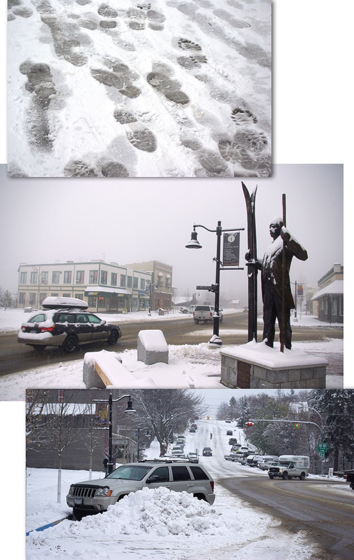
With up to 15 centimetres of snow falling over higher terrain, Environment Canada (EC) issued this season’s first snowfall warning for the West Kootenay region Thursday morning.
Compact snow was reported from the Nancy Greene Summit to Trail with slushy sections from the junction of Highway 3B in Trail to Castlegar, reported the DriveBC website.
Reports of vehicle incidents in Greater Trail included a car overturned on the Rossland Hill Thursday morning and a vehicle over a bank near Genelle in the afternoon.
An afternoon update on drivebc.ca reported both directions of Highway 3 at the Paulson Bridge closed due to a vehicle incident.
No further details were available at press time.
Further east, Highway 3 over the Kootenay Pass showed compact snow with slippery sections through to the junction of Highway 6 and Creston, with slush with slippery sections continuing to Cranbrook.
Flights were not able to arrive or depart from the Trail Regional Airport Thursday due to marginal conditions with the airport’s live weather camera (trailairport.ca) showing low lying fog and wet snow covering the 4,000 foot runway.
“From five to 10 centimetres of snow are generally forecast with lesser amounts in some valley bottoms,” cited the EC weather alert. “Snow will change to rain during the day and the West Kootenay region will suffer the full brunt of the storm before it tapers off by this (Thursday) evening.”
According to local forecaster Ron Lakeman, a large system passing over the area is causing the significant precipitation of wet rain and snow, but should lessen by Friday afternoon, with mainly cloudy skies expected and a chance of sunshine Saturday.
“Right now, late Saturday night or Sunday, a weaker system is expected with wet flurries or light rain and a seasonal high of –5 C,” he said.
“A high pressure system should bring drier weather and periods of sun early next week and seasonal highs of 5 C or 6 C.”
The snow report from Rossland’s Red Mountain Resort shows a 6 cm snowfall since Wednesday, bringing November’s total to 30 cm, and the current alpine snow depth to 32 cm.