There is still a ban on campfires throughout the Southeast Fire Centre despite the cooler days.
Although the fire danger rating has dropped to low, the campfire ban is ongoing due to lack of rain in some areas.
“What’s happening, is our fire officials are assessing the situation on a daily basis and we are taking into account the cooler temperatures as well as precipitation that areas in our centre has received,” Fire Information Officer Carlee Kachman told the Trail Times.
“But we are also looking at the areas that haven’t received much precipitation as well, so at this point, the campfire ban is still in place until the public is otherwise notified.”
The prohibition of off-road vehicles on Crown land was rescinded this week, effective Wednesday.
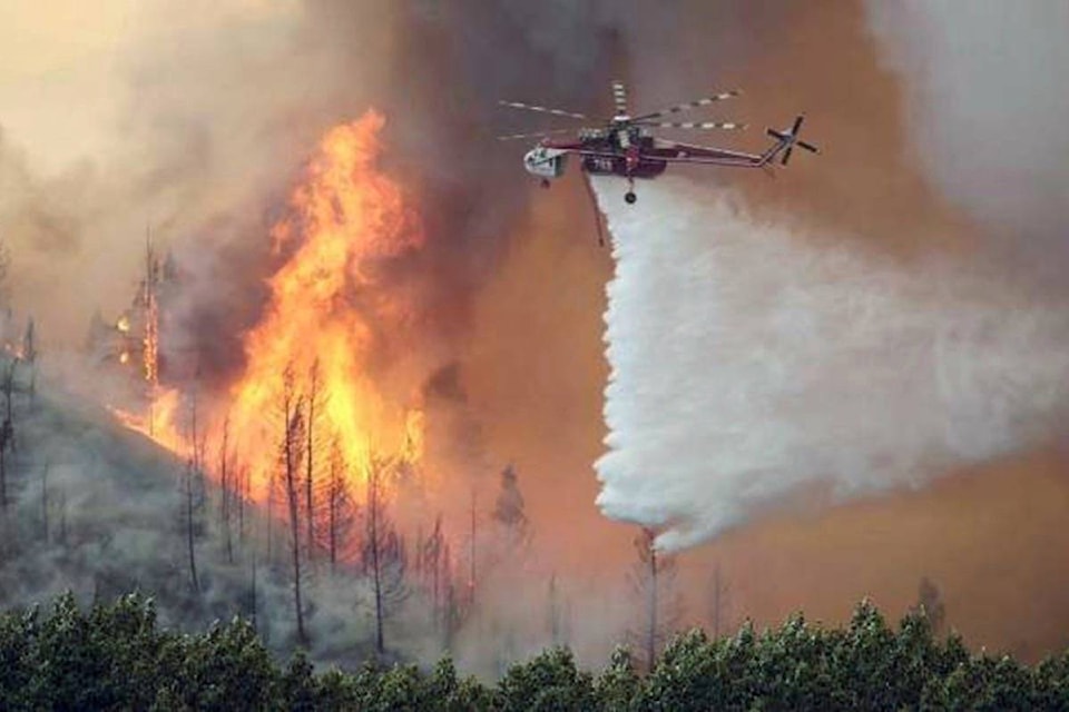
There are 45 wildfires still burning in the Southeast Fire Centre, the latest fire was sparked by lightning over the weekend in the Columbia Region near Revelstoke.
The McCormick Creek fire, 20 kilometres (km) southwest of Salmo, has burned 410 hectares since it was discovered Aug. 9. The fire is 100 per cent contained but listed as active, and smoke is still visible from Highway 6 and the Salmo area.
The Harrop Fire, nearer to Nelson, is still burning as an active interface fire. An evacuation alert is in effect for Harrop, Procter, Sunshine Bay and Kootenay Lake Village. The fire has consumed 3,120 hectares since it was discovered July 27.
“The evacuation alert is still in effect because some areas have seen significant amounts of rain, while others have been left almost dry,” Kachman said. “So we are hoping those areas get more rain.”
Burning since July 13, the Galena Bay fire is now 60 per cent contained. The wildfire is located five kilometres east from the bay and highly visible from the highway.
Kachman says the lightning-caused fire remains at a high elevation and because of the rocky terrain, complete containment by guard is not possible.
To date, 357 wildfires have burned 88,000 hectares in the southeast region. Provincially, over 1.2 million hectares have been consumed by 1,265 fires.
Decreased fire activity and cooler weather in the East Kootenay led to changes in restrictions and evacuation alerts on Monday.
The evacuation order and alert for the Moyie community was rescinded, and Moyie Lake restrictions lifted. Evacuation alerts were also rescinded for Newgate (south to the United States border) and the Poplar Creek area in the Central Kootenay.
The Etna Creek Forest Service Road in Moyie was fully closed on Monday to assist with fire suppression and to protect safety of the public and first responders.
The Southeast Fire Centre extends from the U.S. border in the south to the Mica Dam in the north and from the Okanagan Highlands and Monashee Mountains in the west to the B.C.-Alberta border in the east. The Southeast Fire Centre includes the Selkirk Natural Resource District and the Rocky Mountain Natural Resource District.
Report a wildfire or open burning violation by calling *5555 on a cellphone or 1.800.663.5555. For the latest information on current wildfire activity, burning restrictions, road closures and air quality advisories, visit: