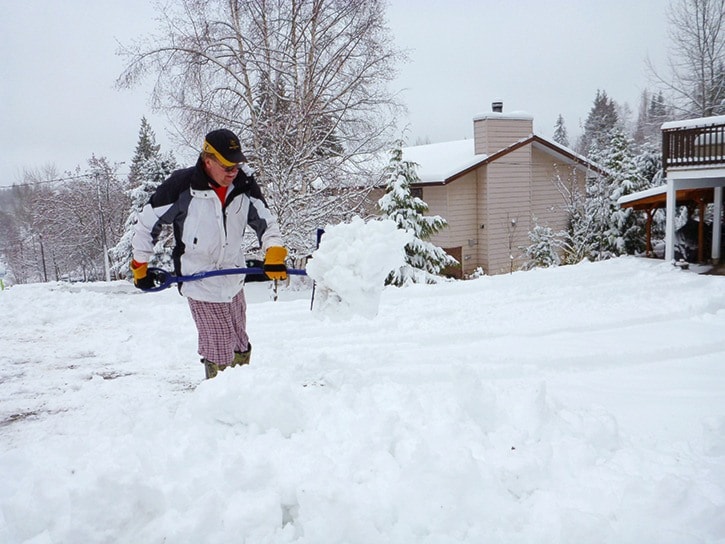
The Pacific moisture tap turned on late Monday changing blue skies to cloud and dry roads to slush.
That’s winter in the Kootenays. But like the last year in Trail, mild temperatures prevailed and the snow didn’t stick around long.
So in a year that’s predicted to be an El Nino “Godzilla,” meaning more rain on the Pacific coast and a milder winter east of the Rockies, the question remains, “What’s in store for Greater Trail?”
Local forecaster Chris Cowan weighs in, and clarified although weather predictions are only probabilities, there are factual signs this winter is going to be warmer and maybe drier than usual.
“I’m a skier so I don’t like to say this,” he began. “But the freezing level will probably be higher than we would normally expect and it’ll probably be drier than normal, though warmer has the stronger signal at this point.”
The forecast is based on the strong influence El Nino has on western North America.
The term itself refers to a massive patch of warm water than appears in the Equatorial Pacific every few years, affecting weather patterns across the world.
“It tends to be warmer…there is a big body of warm water in the tropical Pacific where there wouldn’t normally be…and it’s expected to peak sometime mid-winter, maybe in February, which is typical.”
Sea surface temperatures have a large influence on climate and weather, and Cowan says temperature anomalies for the entire western hemisphere are well above normal.
Charts in the Castlegar weather office track sea surface temperatures over a period of 10 years, called Pacific Decadal Oscillation (PDO), which gives a bigger picture of what to expect, explained Cowan.
PDO data gives a quantified look of temperature and precipitation trends over a period of time, instead of a year-to-year forecasts.
“From 2000 to 2012 it was below normal most of the time and that tends to bring down the freezing levels,” he continued. “But the (present) sea surface anomalies, which are slow to move, are above normal. So much as I hate to say it, looking at the evidence…there may be less of a snow pack at least at the lower elevations.”
The good news for skiers and snowboarders is local weather can change on a dime, Cowan added.
“Last year the higher elevations, above 2,000 metres, the snow pack was almost normal,” he said.
“So an Arctic air mass can decide to come down and drop the temperature. But our usual air mass we have in the winter comes from the Pacific and that’s warmer than average because the source region is warmer (Pacific sea temperatures). So the prediction is warmer and drier than normal,” he added. “But those are only probabilities.”
