Environment Canada has issued a special weather statement for the Trail area:
Be prepared for bitterly cold air.
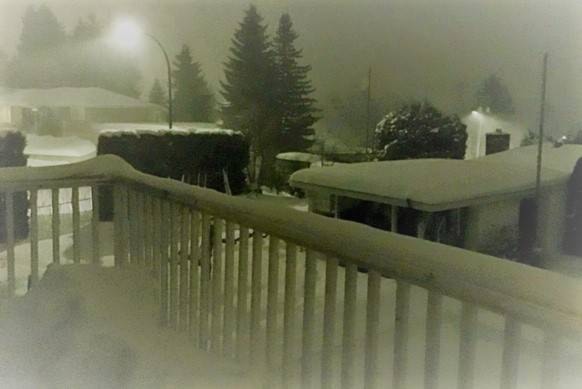
An extremely cold arctic airmass in the far north will make its way southward this weekend.
This airmass will first move across the central interior on today and then across the south on Sunday.
Temperatures will plummet to values not seen in years.
With strong north winds, it is expected that wind chill values will reach between minus 30 and minus 40 through the central interior by Sunday morning and down to minus 30 in the Columbias and southwest interior by Monday morning.
Most of the Kootenays won’t reach really cold wind chill values until Monday night.
To report severe weather, send an email to BCstorm@canada.ca or tweet reports using #BCStorm.