Trail may soon step into history as home to one of the longest pedestrian suspension bridges in Canada after council approved its proposed location Monday.
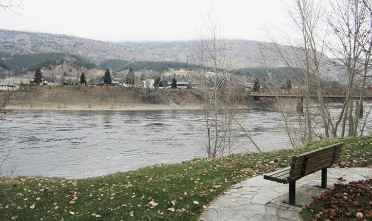
The 300-metre (1,000-foot) walking bridge will start at the west end of Rotary Park, near the Groutage Avenue parking lot, and cross over the Columbia River to end at the intersection of McQuarrie Street and Columbia Avenue in East Trail.
“This preferred location will easily connect to existing sidewalks, crosswalks, and city water mains,” explained Warren Proulx in his written brief to council at the governance meeting. “It is not the shortest span between river banks but alternate sites would result in difficult and more expensive construction options.”
Buckland and Taylor, a specialized bridge engineering firm based in North Vancouver, was hired by the city earlier this year and upon review of preferred locations, suggested the crossing site based on the access to both river shores which provides model conditions for constructing towers, foundations, wind cables and anchoring systems.
With location okayed, the project can now move forward into the next phase of bridge design, which includes several options of tower esthetics, wind and main cables, deck plans and geotechnical work.
The foot traffic-only bridge will disguise the unsightly regional sewer line that will be attached to it, so the next stage in the funding process is for the city to approach the Regional District of Kootenay Boundary (RDKB) to negotiate a cost sharing agreement.
“With respect to timing there has been some delays and we are two months behind,” David Perehudoff, the city’s chief administrative officer(CAO), told council. “But in terms of the impacts on RDKB’s infrastructure our issue is going to be negotiating a final cost share.”
With an estimated $6.5 million price tag, the structure is the most affordable option for rerouting the utility line, with the regional district sharing expenses based on the sewer line being moved off the old bridge and onto the new pipe bridge.
“The RDKB’s share is not yet known but may be in the order of $2.5 to $3 million,” explained Perehudoff. “And the city would end up borrowing $3 to $3.5 million.”
John McLean, CAO for the regional district, had no comment, saying “things are still a little uncertain.”
However, once that final agreement is in place, the city will proceed with a loan authorization bylaw that provides legal authority for Trail to borrow the money necessary to pay for the construction of the bridge, confirmed Perehudoff.
“With respect to having the bylaw approved, council plans to use the alternate approval process,” he said, adding, “the city would advertise its intention to proceed with the borrowing and then 10 per cent of the registered electoral would have to petition against the bylaw to force the matter through to a referendum.”
The tentative completion date, according to the city’s status report, would be September, 2015.
The idea of constructing a pedestrian bridge/sewer pipeline was first proposed to the RDKB by the City of Trail in 2011, following a cost review summary of a new sewer line to cross the Columbia River.
Last year, Trail and its regional sewer partners, Rossland and Warfield, decided to move forward to create a pipe bridge that would support the regional sewer line after a pipe burst underneath the old bridge and 5,500 cubic metres of liquid sewage seeped into the river.