Don’t even consider changing to summer tires if you are travelling through Highway 3 passes this weekend.
Environment Canada issued a snowfall alert for the West Kootenay early Friday.
The warning is in effect for Highway 3 from the Paulson Summit to the Kootenay Pass with up to 25 centimetres (cm) of snow expected to fall.
A frontal system approaching Rogers Pass and Kootenay Pass will bring snow starting the afternoon of Friday, April 13.
Snowfall accumulations of 15 to 20 cm for Rogers Pass and up to 30 cm for Kootenay Pass are expected through tonight and Saturday.
The snow will ease on Saturday. Snow will change to scattered rain showers over Rogers Pass Saturday morning.
Prepare for quickly changing and deteriorating travel conditions. Visibility may be suddenly reduced at times in heavy snow.
Weather in the mountains can change suddenly resulting in hazardous driving conditions.
ShiftIntoWinter.ca reminds drivers to know before you go. Adjust to winter driving behaviour and use winter tires and chains.
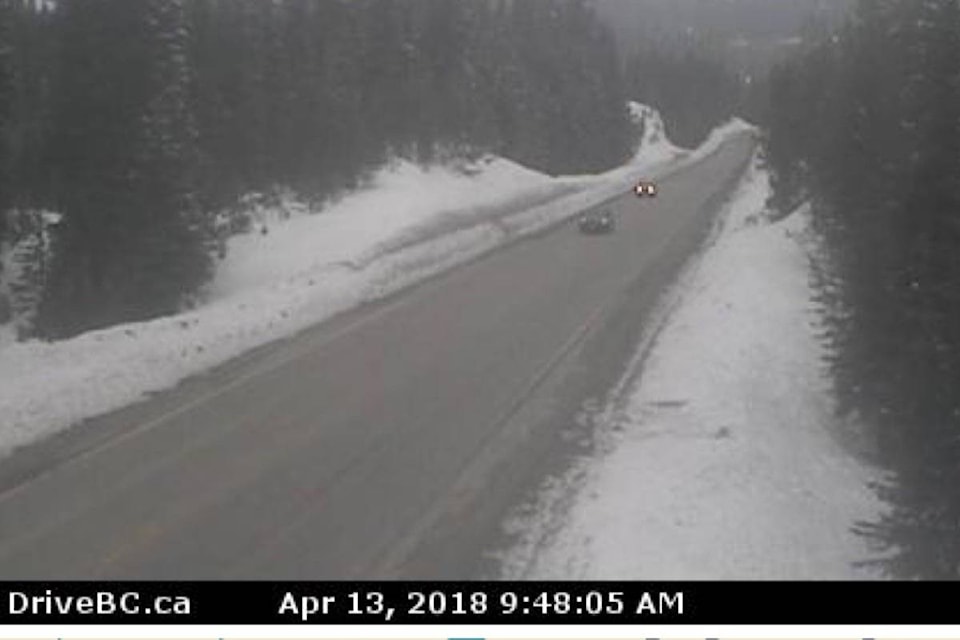
Road conditions are available at www.drivebc.ca.
Please continue to monitor alerts and forecasts issued by Environment Canada. To report severe weather, send an email to BCstorm@canada.ca or tweet reports using #BCStorm.