Three hundred eighteenth in a series on West Kootenay/Boundary place names
In 1887, the provincial government divided the Kootenay region into north and south districts for administrative purposes. However, officials soon realized the geography lent itself more fittingly to east and west divisions.
Accordingly, in March 1888 the north/south districts were cancelled and replaced with East and West Kootenay, with the summit of the Purcell Mountains (then considered part of the Selkirks) as the dividing line.
West Kootenay was further subdivided into northern and southern divisions (also known as Revelstoke and Nelson divisions) in 1892 with the dividing line just north of Nakusp.
West Kootenay and East Kootenay were established as provincial electoral ridings in 1890, but it took until 1903 for Kootenay to become a federal electoral district, and until 1914 for it to be divided into Kootenay West and Kootenay East ridings.
There remained a single sheriff of Kootenay until 1898 when the jurisdiction was divided into North Kootenay and South Kootenay. Northwest Kootenay, meanwhile, was a mining district created in 1899 that included the Revelstoke, Lardeau, and Trout Lake divisions.
So there were several Kootenays in the 1890s. But when people spoke of the whole region, they still called it the Kootenay, singular. When they acknowledged multiple subregions, they did so by referring to two (or more) Kootenays. For example:
• “That gentlemen is not looked on with favor by the people of the two Kootenays …” (Nelson Miner, Jan. 31, 1891)
• “Mr. Law, of Golden … has been authorized to collect specimens of mineral from the two Kootenays for the Chicago fair …” (Kootenay Star, Oct. 8, 1892)
• “It is expected the map will be on sale within a month and when it is it will be at a price so low that every free miner in the two Kootenays will be able to purchase one.” (Nelson Tribune, June 29, 1893)
While this continued for a while, starting in 1893 we begin to see the plural used by itself, without being qualified by a number.
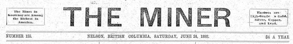
The earliest known use, in the Nelson Tribune of Feb. 9, 1893, quoted the Winnipeg Commercial: “With the silver region of Thunder Bay, the gold of the Lake of the Woods, and the wonderful wealth of the Kootenays, besides many other mineral regions, there is no need for Canadians to go abroad to look for rich investments in mining.”
But the plural Kootenays remained uncommon until February 1897, when for some reason its use began to take off. Most local newspapers adopted it that year, although they also continued to use the singular Kootenay.
It was also common practice to omit “the” before Kootenay. You could (and still can) say “I am from Kootenay” or “I am going to Kootenay.” Today we often omit “the” before West Kootenay and East Kootenay, as in “I live in West Kootenay” versus “I live in the West Kootenay.” But there’s no real rule.
The singular Kootenay never went away completely but by the 1970s it would have sounded unusual to younger ears (unless you were referring to the river or followed it immediately with “area” or “region.”)
Oddly, other parts of BC didn’t experience similar pluralizations. There’s a North Okanagan and South Okanagan, but you’ll never hear them collectively called the Okanagans. Nor do we have the Cariboos or Lower Mainlands.
While North and South Kootenay have long ceased to be officially recognized regions, the names live on in limited use as subregions of West Kootenay.
North Kootenay is Kaslo, Nakusp, and the Lardeau Valley. Nakusp’s midget hockey team, made up players from Nakusp and Kaslo, is the North Kootenay Falcons. North Kootenay Veterinary Services is at Shutty Bench.
South Kootenay was perpetuated in the 1930s by the South Kootenay News, a paper that served Salmo, Ymir, and Sheep Creek. Today Travel BC defines the South Kootenay as stretching from Christina Lake in the southwest to Salmo in the east and north to Castlegar, including Trail, Rossland, and Fruitvale (and presumably Warfield and Monrose). The South Kootenay Business Centre is an office building in Trail.
The Southeast Kootenay school district, created in 1996, includes Cranbrook, Fernie, and Sparwood.
But while you can say Kootenay, Kootenays, West Kootenay, East Kootenay, North Kootenay, or South Kootenay with impunity, you risk public opprobrium by saying “West Kootenays” or “East Kootenays.”
We’ll study that controversial corruption next time.
CORRECTION: Last week we stated erroneousy that Higashi Way in Kaslo is the only street in West Kootenay/Boundary named for a Japanese-Canadian. That overlooked Sugimoto Road in Grand Forks, named for Yasushi (Sugi) Sugimoto, mayor of that city from 1977-96.