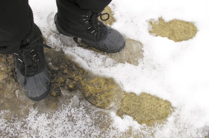
There were no signs of blooming season on the first day of spring Tuesday with a fresh dump of snow in Greater Trail.
But March’s wet conditions are not out of the ordinary, according to Ron Lakeman, forecaster for the Southeast Fire Centre.
“It’s a La Nina year and La Nina seems to have more influence to the latter part of the winter and into spring,” he said.
“It’s almost a forgone conclusion that in a La Nina year, spring always comes late.”
About eight centimetres of fresh snow landed Monday night at the weather station in Castlegar and while the wet stuff may taper off mid-week, Lakeman expects more precipitation by Thursday morning. Warmer and dryer conditions are predicted for Friday and Saturday.
“Beyond that, the pattern is still looking rather cool and unsettled, so generally what we have is a long wave trough, which has been centred over western North America the last month or so, and it looks like it could persist for another few weeks if not another month,” he explained.
“The general call is for continuing wet and cooler than normal conditions as we go through April, similar to last year in the sense that it shouldn’t be a real quick transition into warm dry weather.”
Last March saw just over 100 millimetres of precipitation, while so far this month Lakeman says up to 80 mm has already fallen – be it rain or snow.