A series on West Kootenay/Boundary place names
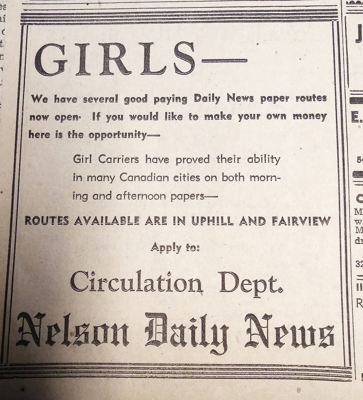
Last week we lamented how lame — that is, unimaginative — Nelson’s neighbourhood names are. While we know exactly when Fairview and Rosemont entered the local lexicon (1899 and 1912, respectively), figuring out when Uphill became Uphill is trickier.
It was originally known as Addition A, or the Hoover Addition, after Newlin Hoover, who pre-empted the land on July 19, 1889. Hoover abandoned his claim the following year and James Dixon Townley restaked it.
Townley hired F.H. Latimer to plot blocks and lots in late 1891, including east-west streets Silica, Carbonate, Mill, Latimer, Hoover, and Observatory, and north-south streets Railway, Falls, Kootenay, Stanley, Ward, Josephine, Hall, Hendryx, and Cedar. (The downtown portions of Stanley, Ward, Josephine, Hall, and Hendryx between Vernon and Victoria already existed.)
By 1898, the residential district expanded further up the hill to add Robson, Gore, Innes, Houston, Richards, Delbruck, and Beasley streets as well as Vancouver and Slocan streets and Hall Mines Road in what’s now Rosemont. The city also expanded eastward to Park Street.
The name Hoover Addition didn’t survive much beyond the 1890s, but the generic name Uphill didn’t take hold until sometime after the 1910s. The earliest reference yet discovered is from 1944 — although it had probably been around for many years by then.
Because uphill is a common word, digitized newspaper searches are little help. No schools or businesses were called Uphill anything (until Uphill Bakery came along in 2002), so civic directories aren’t much help either.
Also: why Uphill? If you got off the train at Mountain Station on the Great Northern Railway, you actually headed downhill toward town. Fairview and Rosemont were also built on hillsides, so why did this particular neighbourhood’s topography contribute to its bland name?
And where does Uphill begin and end? One school of thought says it’s everything above Silica Street, between Falls and Park streets. But retired surveyor and realtor Ted Ryan, who has given the subject a lot of thought, says it actually begins at Latimer Street.
“From the Hendryx/Latimer corner head south on Hendryx until you intersect the old Burlington Northern railway,” he says. “Anything above Latimer and bounded by [Highway 3A] is Uphill.”
In what neighbourhood does that leave the streets between Victoria and Latimer? Ryan calls this area Central, because of the school of that name built at the corner of Mill and Stanley in 1909.
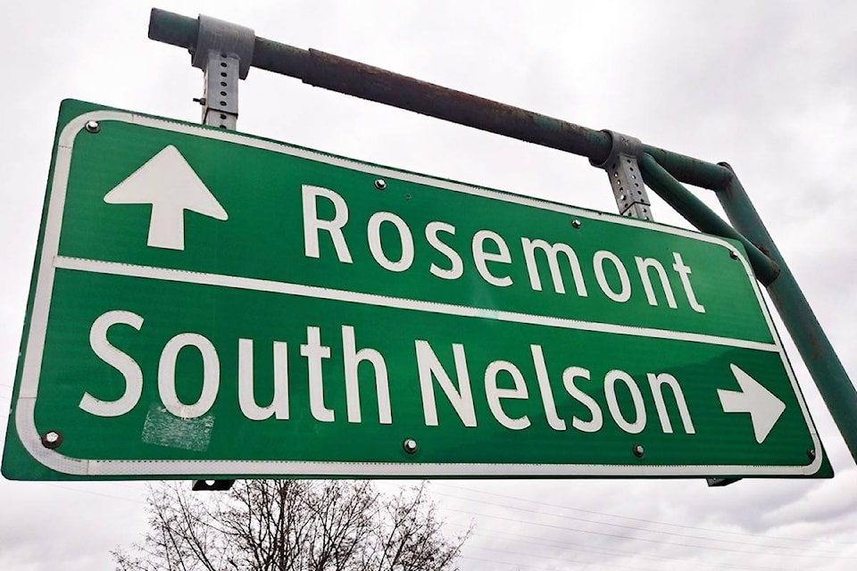
Then there’s South Nelson, a name the Great Northern Railway appears to have chosen to replace Mountain Station on its timetable. The earliest known reference is in The Vancouver Sun of June 17, 1941, when the company applied “to abandon passenger service on a 51-mile stretch between South Nelson and Waneta.”
The name became further entrenched when South Nelson elementary school opened in 1956, in what was formerly Nelson’s high school. Ryan considers Hendryx Street the east/west boundary between Uphill and South Nelson, with the old railway grade as South Nelson’s south boundary.
“There is a bit of a triangle at the top end of Cedar that turns west onto Houston that fits better with Uphill than South Nelson,” Ryan says. “The northeast corner of South Nelson is probably anything south of Selby Street and west of the south end of Regent Street.”
South Nelson is no longer widely used as a neighbourhood name but does appear on highway signs and remains a school name. (The corresponding North Nelson doesn’t really exist — except in the Telus phone book, which has long used it as shorthand for the 825 prefix on the North Shore of Kootenay Lake.)
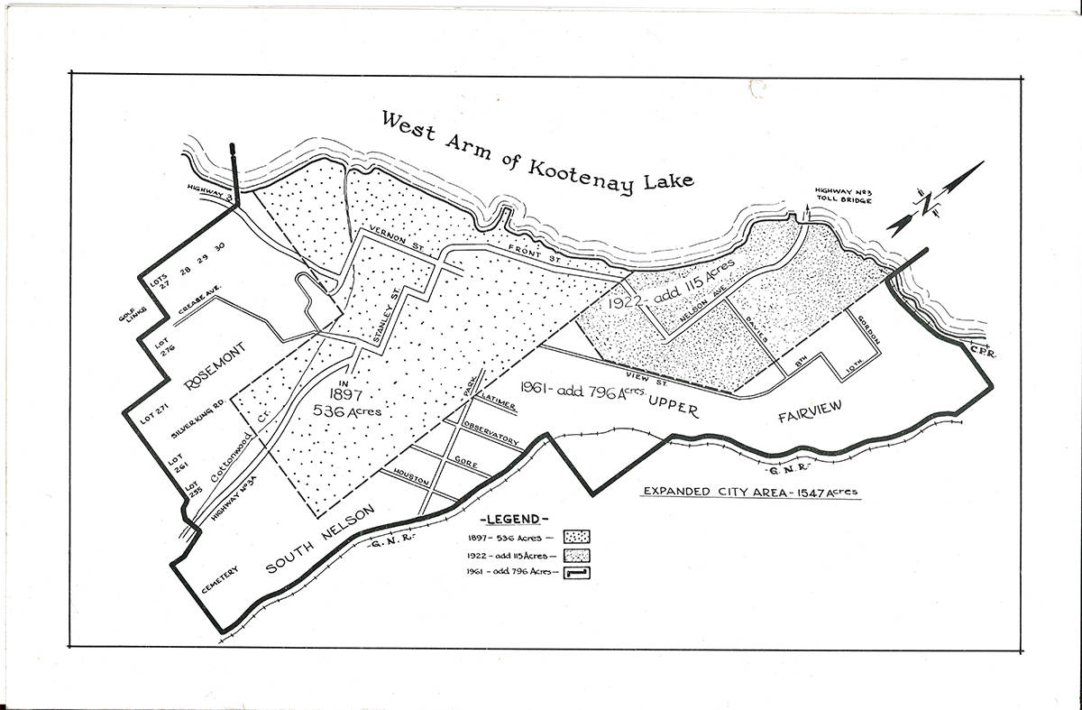
South Nelson was outside city limits until 1961 when a boundary expansion added South Cherry Street, plus additional blocks between Carbonate and Delbruck and Josephine and Park.
The same expansion took in Uphill’s upper reaches: Creek, Howe, Hart, Little, and Stibbs streets, plus Kootenay Lane and the cemetery. Later Fort Sheppard Drive was completed.
Although South Nelson took the place of Mountain Station on the railway timetable, the latter remains a neighbourhood name, applied to the area adjacent to and above the former rail grade. Mountain Station remains outside city limits even though you can’t get there (at least in a car) without passing through the city.
It was the original terminus of the Nelson and Fort Sheppard Railway (later the Great Northern), first mentioned in the Nelson Miner of June 19, 1897 in a complaint about mail service: “[B]y being taken from the train at Mountain station, above town, the saving of time would be from one to one and one-half hours …”
Today Mountain Station is home to South Sheppard and Evening Ridge roads, plus Poplar and Ash streets. The latter two are portions of longer streets surveyed and named by 1912. A portion of Willow Street that survives off Mill Street originally appeared on the same plan as South Willow (or South Valley on some maps). Three more streets were never built: Tamarac, Elm, and South Poplar.
While Uphill, Fairview, and Rosemont are Nelson’s primary residential neighbourhoods, we’ll study several others in later installments.