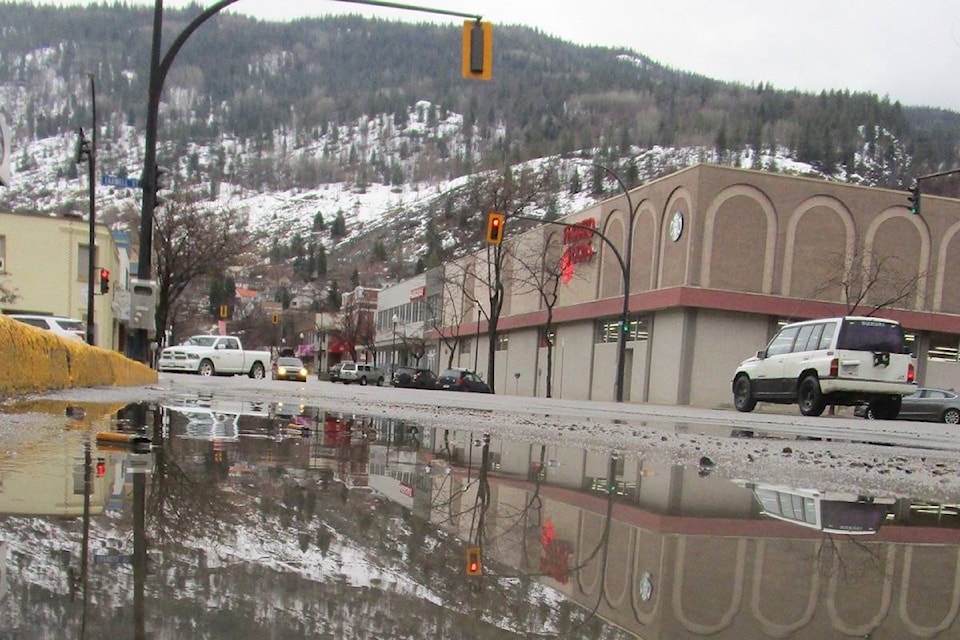
Abrupt transition back to winter conditions Thursday afternoon for the Coquihalla, Okanagan Connector and Highway 3 - Hope to Princeton via Allison Pass.
A strong cold front will move across southern B.C. later today. Ahead of the cold front Thursday morning, rising freezing levels will bring mostly rain to the passes.
The passage of the cold front late this afternoon will bring a sudden change in precipitation from rain to heavy snow over the highways resulting in sudden reduced visibility and possible rapid accumulation of snow. Total snow accumulations of 10 to 15 cm are possible from this afternoon through tonight.
Over Kootenay Pass, snow will persist Thursday. Due to higher freezing levels, the snow may become wet or mixed with rain at times. Total snow accumulations of 15 to 20 cm are expected.
Travellers are advised to exercise caution if travelling today and to be aware of rapidly changing road conditions.
Road conditions are available at www.drivebc.ca.
