Environment Canada issued a snowfall warning for Hwy 3 from Paulson Summit to Kootenay Pass, beginning Thursday (Nov. 3) evening.
“A long duration snowfall event is expected,” read the alert, indicating that a snow accumulation between 15 to 25 cm is expected to continue to Saturday morning.
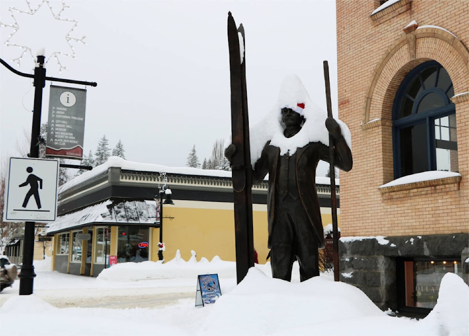
The snowfall warning is for most of BC’s Southern Interior including Boundary/West Kootenay/Kootenay Lake regions.
“Snow will begin over the Highway this evening, with up to 5 cm expected by Friday morning. As snow begins to intensify on midday Friday, so too will southwesterly winds gusting to 40 km/h.”
Environment Canada said rising freezing levels combined with southwesterly winds gusting up to 40 km/h will change precipitation to rain mixed with snow Friday evening.
“As temperatures begin to cool Friday overnight, precipitation will revert back to snow and continue until Saturday morning.”
Snowfall accumulation will be highly variable and dependent on precipitation rate and temperature, especially on Friday night.
Prepare for quickly changing and deteriorating travel conditions.
Visibility may be suddenly reduced at times in heavy snow, and weather in the mountains can change suddenly resulting in hazardous driving conditions.
Check out the Shift Into Winter website to prepare for winter conditions, and adjust to winter driving by changing to winter tires and carrying chains.
Road conditions and web cameras for current conditions are also available at drivebc.ca. Unfortunately, the web camera at Paulson Summit is unavailable due to an act of vandalism.