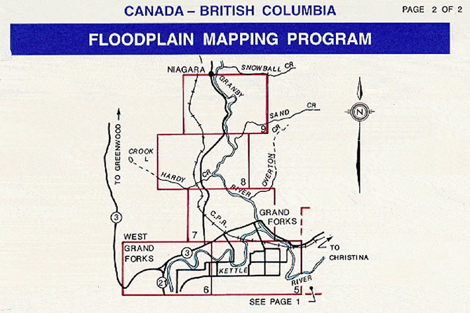
A thick black line draws a wide perimeter of the section of the Kettle River represented on section 5 of the 1992 floodplain map of the Ruckle neighbourhoods in Grand Forks.
In fine print at the bottom, the map reads, “Flooding may still occur outside of the designated floodplain areas. The Ministers do not assume any liability by reason of the designation or failure to designate areas on this map.”
Now, many areas on the 200-year flood projection represented in 1992 have been updated to reflect significant changes.
New city mapping shows that buildings constructed in the southeast corner of South Ruckle would now need to be 1.5 metres higher than mandated in the 90s, for example. The change is just one of many findings revealed in Grand Forks’s latest floodplain mapping project, which is set to be revealed to the public next week.
“Everything is higher for the current flood construction level than it was back then,” said Graham Watt, flood recovery manager for Grand Forks.
Like on the east side of North Ruckle, where the new flood construction level is nearly three metres above the ground. Overall, the interactive data gathered by community consulting company Urban Systems reveals how current and projected water flow at high levels affects Grand Forks neighbourhoods.
Some houses, built to respect the 60-centimetre clearance above the floodplain described in the 1992 map – still had water breach them in 2018.
“This flood that we had last year was essentially a 200- year flood by the new hydrology,” said Watt. “Those buildings were all built to withstand a 200-year flood by the old hydrology,” which was crafted less than 30 years ago.
Watt said that the new, more dynamic maps will help the city inform residents about flood risk and support emergency planning and response. The maps will also inform development of a new City floodplain bylaw this winter that will be used by homeowners, developers, and City staff help prevent flood damage to structures, living spaces,and vulnerable infrastructure. The bylaw will regulate foundation heights and setbacks from water bodies for new construction or redevelopment.
“Any amendments [to the bylaw and official community plan] will help protect future development and occupants from flood and erosion hazards, safeguard floodplains and riparian areas as natural assets, and prevent needless losses in future flood events,” Watt said.
The lessons learned through hydrology modelling using the new maps will dictate how Grand Forks goes about building new flood mitigation infrastructure.
Because the Kettle towards South Ruckle has a slow gradient, for example, it backs up much more quickly than the Granby River does stretching north, because of that river’s steeper trajectory. As a result, Watt said, diking in that area needs to be timed to coincide with other projects.
“Any additional obstructions in the downtown core near the forks can have the effect of backing the [Kettle] up and, to a lesser extent, up the Granby,” Watt said. “One thing that has meant is that we will want to provide for doing the diking in South Ruckle simultaneous to other works that might be near downtown.”
To help residents learn and understand how the maps have been updated, the City and Urban Systems will be hosting a public presentation on Nov. 18 at Grand Forks Secondary School in the auditorium. The forum is scheduled to run from 5 to 8 p.m.
The City will also have the new maps available for viewing at City Hall and at the Resilience Centre, located at 7261 Riverside Drive.