Had enough of the rain lately? Turns out, we really haven’t had enough.
Despite the spate of wet weather the last ten days or so, fire weather forecasters say precipitation is still way down from normal.
“The numbers don’t lie,” says Southeast Fire Centre weatherman Ron Lakeman. Lakeman has issued his summary for June’s weather — and the upshot is, the near-drought continues. “It’s just that the rain fell recently. Everyone has that fresh in their memory.”
June is the fourth consecutive month with a below-normal amount of precipitation, says Lakeman’s report. June rainfall was two-thirds of normal. And when you include the rainfall since March, precipitation is just over half — 54 per cent — of what it should be.
A dry westerly flow prevailed for unseasonably warm temperatures during the initial four days of the month, followed by cooler temperatures and relatively light showers and occasional thundershowers from the 5th to 8th.
Unseasonably warm and generally dry conditions dominated the 11th through the 18th.
The remainder of the month was more typical of June, seasonably unsettled with near-normal temperatures, with frequent showers and thundershowers. The majority of the month’s rainfall (74 per cent of the monthly total) occurred between the 22nd to 28th.
Lakeman says what happens in June can be an indicator of how bad the fire season may be. A wet June could mean a downturn in the fire danger rating.
“With the lack of precipitation during June, there is a heightened hazard going into July and August,” he says, cautioning that it is by no means a certainty — weekly weather patterns also affect the fire forecast. “Precipitation in June typically occurs in the first two weeks or so of the month, and then the summer drought can start the final week of June, and continue.
“So the timing of this precipitation was really quite beneficial.”
While the hazard has been brought down temporarily, the fact that the level of precipitation is half of normal could still have an affect on the fire season.
“It’s not a certainty by any stretch. It’s not the amount of precipitation, but the timing is important as well too,” he says.
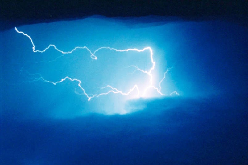
One other unusual thing about June was the number of thunderstorms the Castlegar area received. Lakeman says 10 days had electrical storms come through. The normal is about six.
June saw some temperature records broken as well. A new record daily minimum temperature of 4.8 degrees was set during the early morning of the 9th, while a new record daily maximum temperature of 34.1 degrees was set on the 13th.
The mean monthly temperature turned out to be one degree warmer than normal.
Still waiting for those hot summer days? Lakeman says computer models are beginning to hint of a high-pressure ridge building, and the real summer hitting, around July 10.