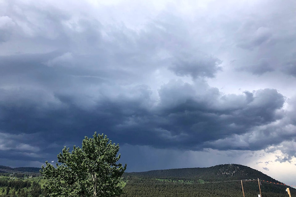
A severe thunderstorm watch has been issued for the East Kootenay region, south including Cranbrook.
Environment Canada reports that conditions are favourable for the development of thunderstorms on Thursday, August 11.
The area may see strong winds, large hail and/or heavy rain.
“Large hail can damage property and cause injury. Strong wind gusts can toss loose objects, damage weak buildings, break branches off trees and overturn large vehicles,” reads the alert from Environment Canada. “Intense lightning is likely with any thunderstorm that develops. Heavy downpours are likely to cause flash floods and water pooling on roads. Lightning kills and injures Canadians every year. Remember, when thunder roars, go indoors.”
Lightning can also mean fire starts.
According to the BC Wildfire Service, lightning causes approximately 60 per cent of wildfire each year, while the remaining 40 per cent is typically human-caused.
“When lightning strikes an object it can release enough heat to ignite a tree or other fuels,” says the BC Wildfire Service.
“Although lightning caused fires cannot be prevented, there are ways of predicting where they might start. The risk from natural fires can also be reduced with fuel management and prescribed burning.”
A prescribed burn is currently underway on the Connell Ridge fire south of Cranbrook. The fire is currently listed at 1350 hectares in size and an evacuation alert remains in place for six properties south of Baker Mountain on Gold Creek Forest Service Road.
corey.bullock@cranbrooktownsman.com
Like us on Facebook and follow us on Twitter