A forecast of torrential rain never hit the West Kootenay but flooding still has several communities on evacuation alert.
Several areas within the Slocan Valley have been included on the Regional District of Central Kootenay’s list of communities on alert along with Salmo and Ymir.
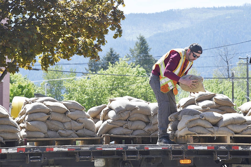
“Over the past few days, crews have placed nearly 20,000 sandbags in critical points in Salmo, and they will now be deployed to other high-priority areas or returning to regular duty,” said RDCK emergency operations centre director Andrew Bellerby
“Weather will continue to be a factor into the long weekend. While we are cautiously optimistic, there is still the potential for flooding, and we are asking the public to stay alert and stay informed.”
Salmo Elementary was closed as a precaution Friday.
In the Slocan Valley, properties on Indian Point Road, Arrow Road, Little Slocan South Road, Passmore Lower Road, Woykin Road and Slocan Valley West Road are on RDCK’s evac alert list.
In Nelson, meanwhile, rising Kootenay Lake levels have already flooded the dog park adjacent to the airport. Fortis BC’s daily report said the level Saturday was 533.08 metres high.
The city’s flooding level is considered 534.31 metres, which is what it hit in 2012. The Fortis report says Kootenay Lake is expected to reach that level by May 25, and could go as high as 534.61 metres by May 29.
Lake levels are also high in Queen’s bay, where the water is currently at 533.90 metres.
Environment Canada had previously forecast rain of up to 40 millimetres to fall between Wednesday and Friday, but that never came to pass.
Related:
City of Nelson prepping for possible flooding
VIDEO: Grand Forks shores up defences as floodwaters rise to peak levels