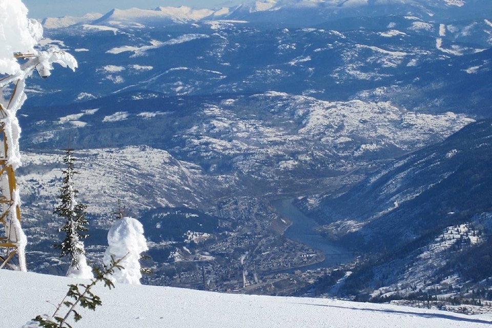
After more than double the usual February snowfall, the Lower Columbia - which includes Rossland through to Trail, the Beaver Valley and regional Areas A and B - has the deepest snowpack in all of B.C.
The highest percentage snowpack for March 1 is the Lower Columbia (at) 134 per cent, the River Forecast Centre reported Friday.
That number increased significantly from Feb. 1, when the snowpack was 112 per cent.
Elsewhere in B.C., the centre reported a near average to slightly above average snowpack in most regions and a 40 per cent below average in northern regions.
Typical of the weather phenom known as La Niña and similar to last February, the second month of 2018 was cooler than normal and eventful in terms of heavy snowfall, local forecaster Ron Lakeman explained.
The mean temperature was 2.5 C cooler than normal, and 68 centimetres (cm) of snow piled up compared with the usual 26 cm for February.
However, when combined with the amount of rain - which was 9 millimetres (mm) compared to the typical 28 mm - the total amount of precipitation was very near 100 per cent of normal.
“Occasional light amounts of mixed precipitation were recorded,” Lakeman stated in his month-end summary. “And the temperatures were in the milder than seasonal category at times as a series of relatively weak disturbances pushed across the West Kootenay during the initial half of the month.”
A new daily high of 10.9 C was set on Feb. 8.
The following week, a southeasterly system from the north coast brought cooler temperatures and 12 cm of snowfall the night of Feb. 13.
An Arctic airmass pushed west of the Rockies for colder temperatures during the third week of the month, setting new daily lows of -20.7 C, -16.0 C and -19.2 C on Feb. 19, Feb. 20 and Feb. 23, respectively.
A Pacific system combined with the cold airmass resulted in 20 cm of snow on Feb. 17, and another 12 cm the night of Feb. 28.
Notably, 1969 remains the year of record snowfall, at least locally. Lakeman noted 98 cm fell that February.
Since Feb. 1, the overall snowpack in the province increased, according to the River Forecast Centre.
A major snow storm moved through the Central Coast, Nechako, Upper Fraser, Thompson, Okanagan, Columbia and Kootenay regions at the start of the month. The South Coast and Vancouver Island were relatively dry during this period. Continued unsettled weather through the rest of the month added to the snowpack. The provincial average snow water equivalent (SWE), referenced to long-term average conditions for this period, has increased from 98 per cent on Feb. 1 to 108 per cent on March 1.
On average, nearly 80 per cent of the provincial winter snowpack will accumulate by March 1.
