There could be snow on West Kootenay mountain passes this weekend.
Yes, you read that right.
Environment Canada issued a special weather statement on Friday, that is in effect for Highway 3 - Paulson Summit to Kootenay Pass.
Here’s what the weather information site had to report:
After a warm and largely dry month of May, a wet and cool weekend is in store for much of the southern B.C. Interior. High elevation travellers routes may see some snow on Sunday.
A strong southerly flow aloft will develop later today (June 8), bringing rain starting tonight and continuing through Saturday.
Total rainfall amounts of 10 to 20 millimetres (mm) are expected with local amounts of 25 mm.
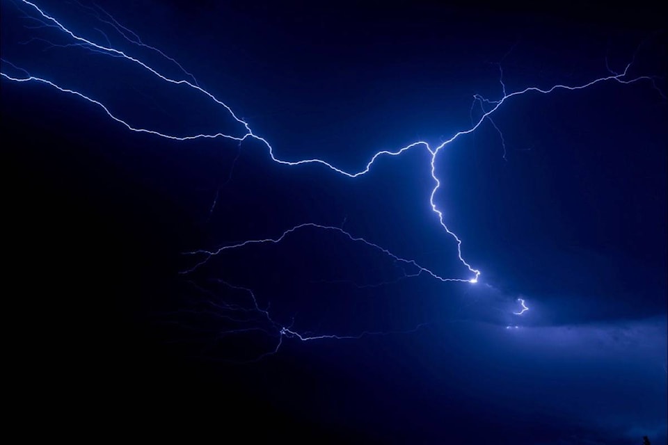
Isolated thunderstorms giving gusty winds and increased rainfall rates are possible.
Over the latter half of the weekend, the strong southerly flow will shift eastwards into Alberta and be replaced with a cool and unsettled airmass. Showery conditions possibly with embedded thunderstorms will prevail on Sunday.
Freezing levels are expected to fall and some higher elevation traveller routes could see snow on Sunday.
In light of the recent dry spell, there’s a risk that increased surface run-off will cause localized flooding this weekend.
An active thunderstorm day is forecast for central BC near the jet max with chance of hail, and strong wind gusts with the thunderstorms; slow moving cells in the southeast, and a slight risk north coast near the low. #BCstorm pic.twitter.com/rrqPutvaDV
— ECCC Weather BC (@ECCCWeatherBC) June 8, 2018
Weather in the mountains can change suddenly resulting in hazardous driving conditions.
Road conditions are available at DriveBC.
Continue to monitor alerts and forecasts issued by Environment Canada.
To report severe weather, send an email to BCstorm@canada.ca or tweet reports using #BCStorm.